
Mapping
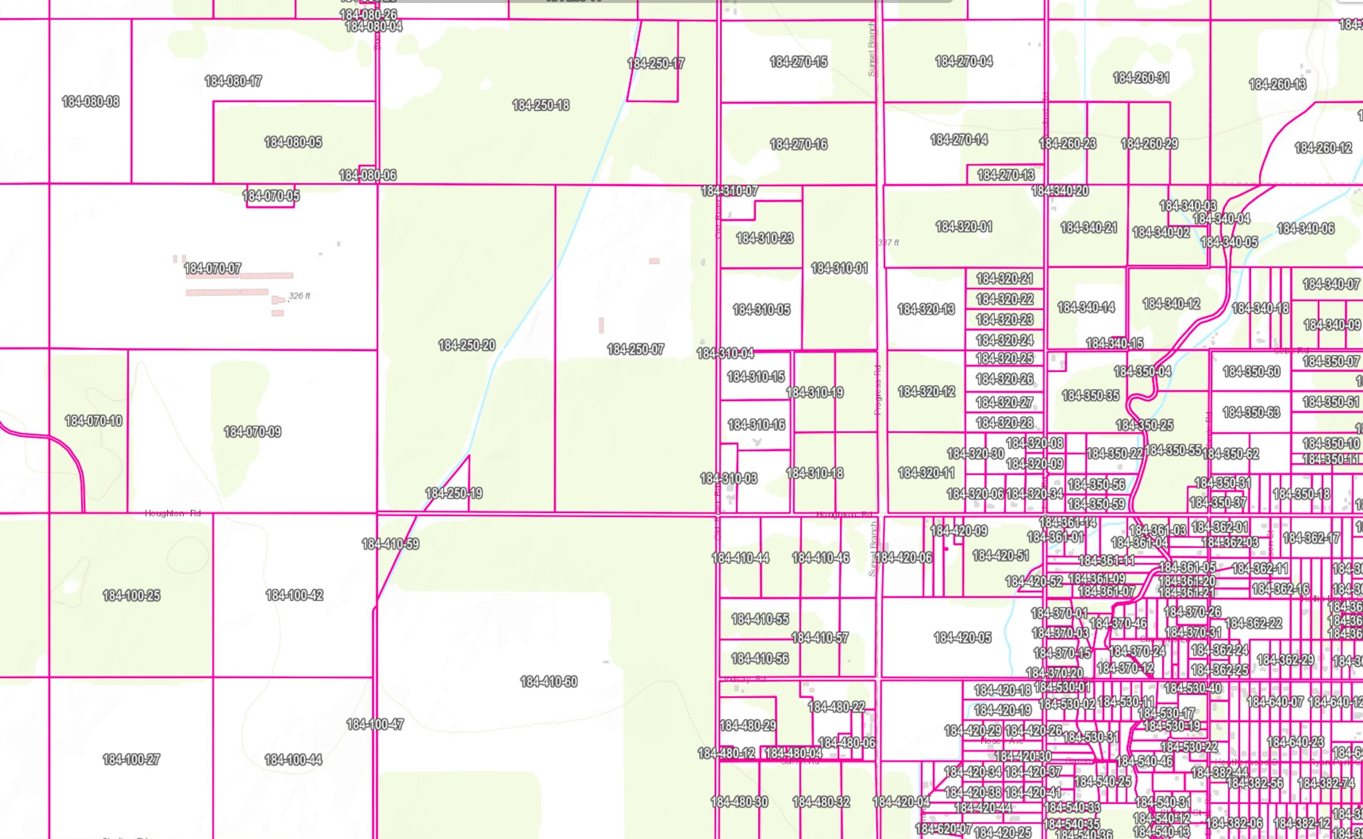
Field boundaries, APNs, and compliance-ready maps
Map field boundaries, APN overlays, sampling points, irrigation infrastructure, and dairy facilities — tied to your farm compliance records.
Problems solved
- Maps maintained separately from farm and compliance data
- APN boundaries not linked to field operations
- Sampling and irrigation infrastructure not visible on one map
- Printable maps recreated for every reporting cycle
Key capabilities
- Field boundary mapping and editing
- APN parcel overlays and Section Township Range maps
- Field Boundary APN Discovery — calculates irrigated acres per APN per field
- Sampling point and well locations
- Irrigation infrastructure and coalition boundary layers
- Dairy facility mapping
- Printable map exports
Related paths
Let's talk about your workflow
We'll help you find the right software or consulting path for your team.