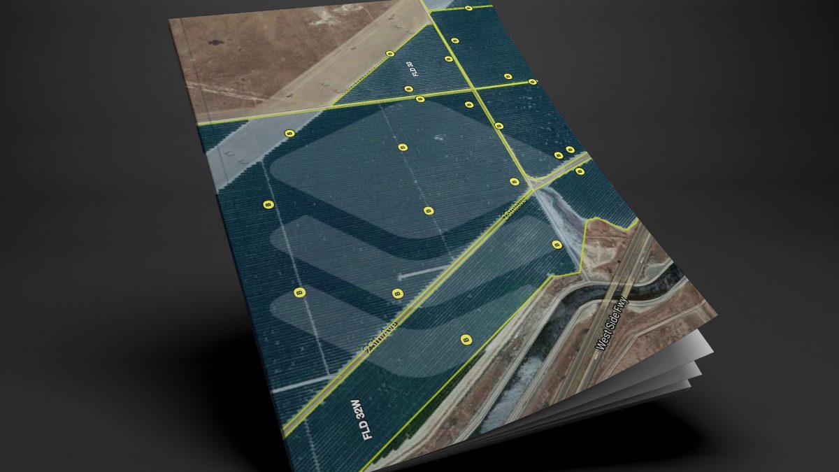
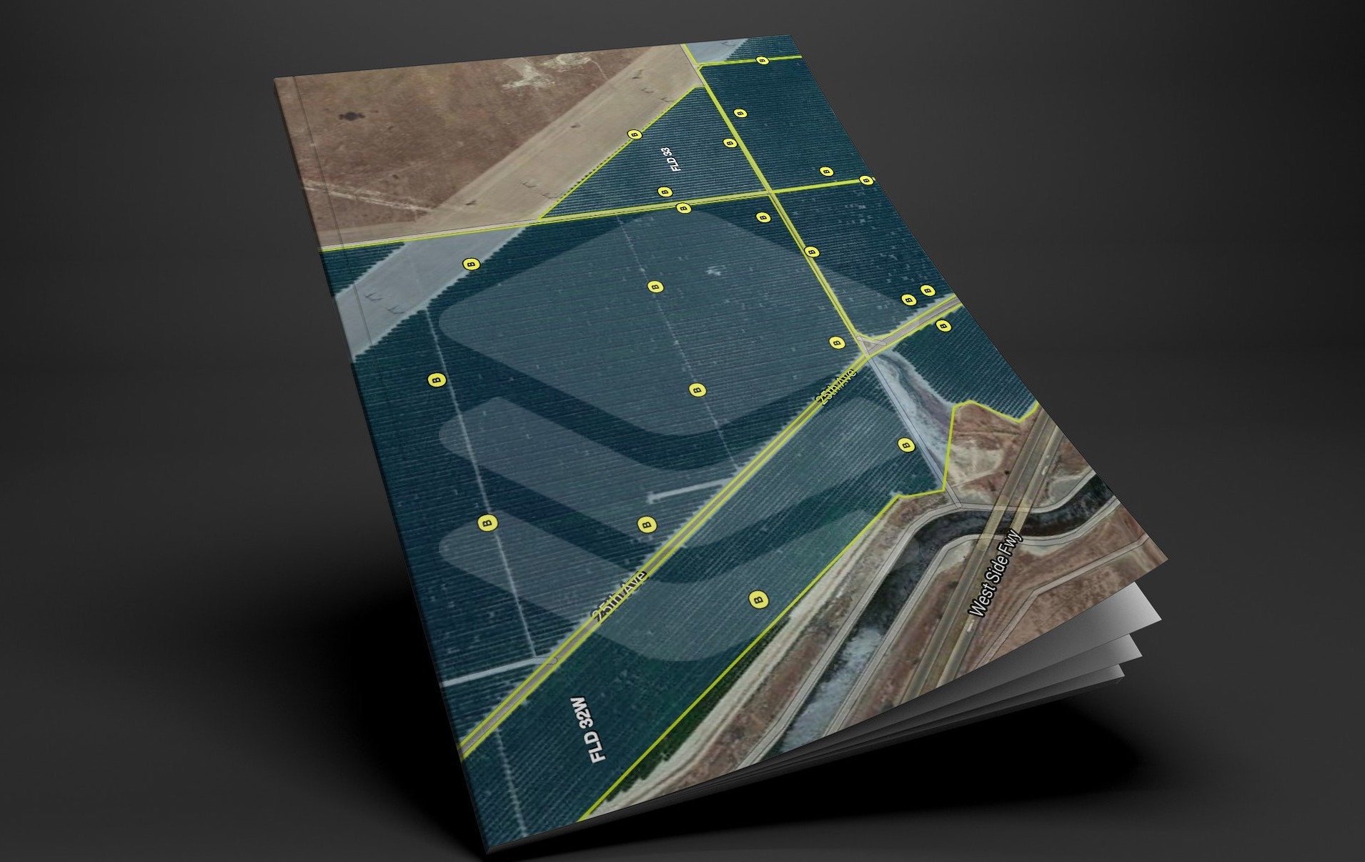
ATS has developed a very detailed and expansive Mapping module that allows on-site tracking, printing, editing, field, and facility measuring with high accuracy. Inside the Mapping module, you will have the ability to open several different attributes that are not only required but needed to generate detailed maps. Imagine using only one mapping program to generate, find and send detailed about your farm! Some attributes inside the ATS Mapping module are, Section-Township-Range, APN #, Coalition boundaries, County boundaries, Water District boundaries, satellite, street, and topo overlays to list a few.
Trinitas Farming
Agri Tracking Systems brings real-time visibility and tracking to Trinitas Farming Agri Tracking Systems (ATS) provides integrated software to help growers plan, map, track, store, analyze, and report on every aspect of the farming operation. Trinitas farms over 20,000 acres of almonds and olives in...
Fine Grained Staff Permissions
ATS know your farm information is valuable and sensitive! This is why we developed a Fine-Grained staff permission feature of the program. ATS has the ability to allow access for certain individuals to access and input data in the system. For example, Irrigators may only...